
WE SERVE OVER 71 INDUSTRIES WITH THE FOLLOWING APPLICATIONS. In doing so we are-
- Reducing the time needed to do a given job
- Reducing the costs associated with a given job
- Improving the quality of the output for a given job
- Improving worker safety for a given job
All four of these benefits work together, creating a powerful combination of value for our clientele. Regardless of the needs of a project, MSI always delivers the highest quality.
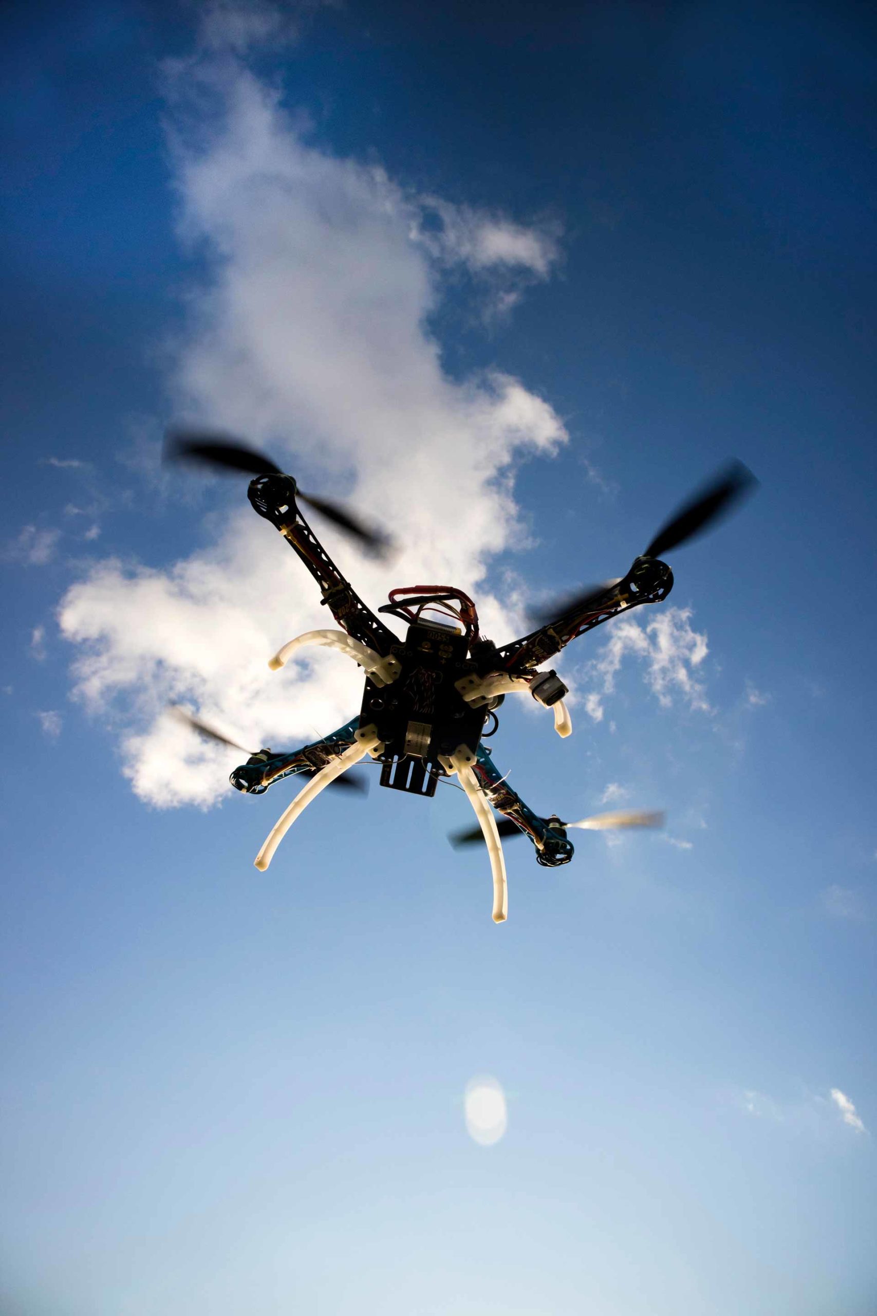
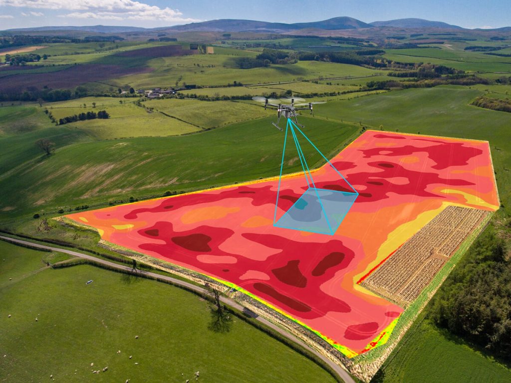
SURVEYING & LiDAR MAPPING
Our Lidar equipped drones come with the base station to ensure our measurements are within a fraction of an inch.
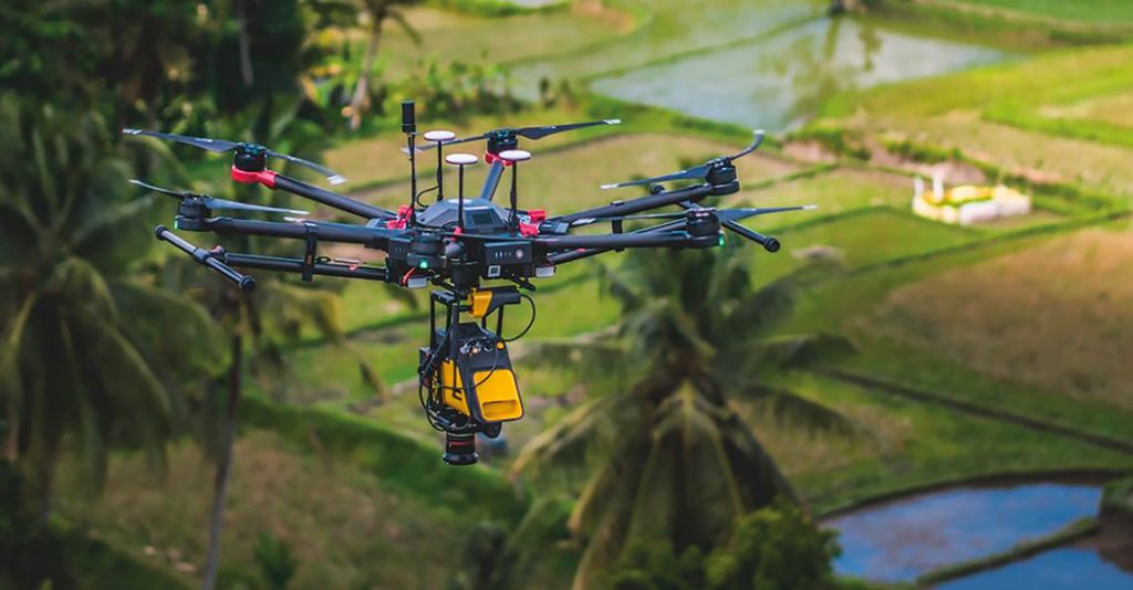

4K-8K IMAGING DYNAMIC VIDEOPRODUCTION & PHOTOGRAPHY
We offer photography & film services that capture data utilized for inspections, repairs, and overhaul services. These services are most common, but for this application they can range from motion films to aerial spreading of ashes for loved ones.
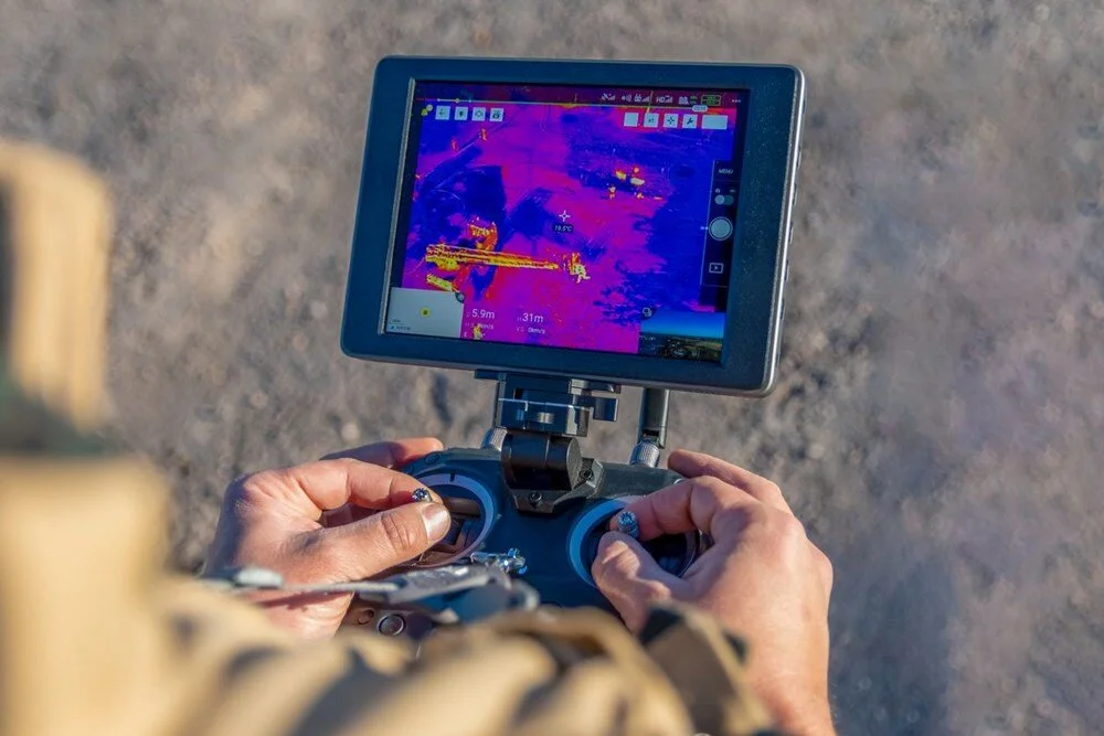
THERMOGRAPHY
This data collection application is also commonly utilized for inspections, repairs, and overhaul services. These services are most common for this application, but for this application they can range from search and rescue & fighting fire, to support conservation efforts in tracking migratory patterns of animals.
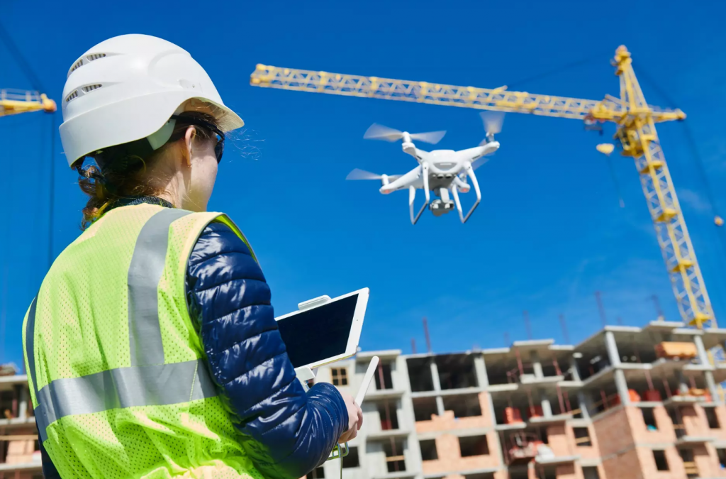
AERIAL INSPECTIONS
This area as addressed in our imaging services are mainly infrastructure, utilities, energy, and mining industries. Our teams have experience in many different applications and scenarios that may arise with these types of inspections.
3D SPATIAL DATA IMAGING
From landscaping to urban planning our teams are ready to expand on this application and take it outside of general construction into landscape management for golf courses and country clubs to identify wildlife, taking up temporary residence during seasons and identifying problem areas such as hot spots or areas where vegetation or property infrastructure may be failing.
AERIAL TOOL ASSISTANCE
We offer aerial assistance to many within the utilities, energy and telecommunications industries. Whether it’s a repair, new build, or overhaul, elevation matters. Currently there are no other modes of transportation for tools, equipment, and parts to heights that a technician can get to, but a vehicle cannot. This is where we come in and let our drones do the work.
SUPPORTED services
BANK CONSTRUCTION SERVICES- Draw inspections
SWPPP INSPECTION/ MONITORING- Environmental oversights
PEST CONTROL- Insect management solutions
VIDEOGRAPHY- Dynamic video production
ENTERTAINMENT- Engaging events & guest experiences
SECURITY- Safety monitoring & asset protection
PROPERTY MAINTENANCE- Efficient upkeep solutions
VISUAL MARKETING- Aerial promotional content
SEARCH & RESCUE- Emergency response services
EQUIPMENT SUPPORT- Logistical support
DISASTER AREA INSPECTION- Damage assessment
DAMAGE ASSESSMENT- Post-disaster Evaluation
RESTORATION OF VITAL SERVICES/ UTILITIES (12 HOUR DEPLOYMENT)- Infrastructure recovery
EMERGENCY MANAGEMENT SERVICES- 12 hour mobilization Post-disaster Management
GOLF COURSE & MANAGEMENT- Operational support & development
Referred to as the DREA INITIATIVE. Pilot/ Drone teams mobilized
through the DREA INITIATIVE can perform a wide range of support tasks that decreases
the time it takes to respond, record, repair, & recover from damages
brought on by natural disasters. With DREA, Drones can play a very significant
part in accelerating disaster recovery through their capacity to capture
immediate or extensive data collection uninhibited by obstacles for immediate
use or throughout the recovery period post-disaster.
THE ABILITIES OF OUR APPLICATIONS IS UNLIMITED.
For example, our drone teams can record and inspect in areas that may be inaccessible to repair crews for utility companies, search and rescue teams, and disaster response teams. Medical, humanitarian supplies, even tools and materials can be sent via payload off to people or crews located in areas that may be inaccessible for long periods of time.
Our teams can also gather information for insurance inspectors
so they can get financial relief to their customers sooner. They can aid
emergency management so they can send in reports while mitigating hazards & dangers. Drones can offer access views to damaged infrastructure and other hazardous areas that may pose a danger to essential personnel and crews.
Through the DREA INITIATIVE, extensive data via scenarios, experiences
& observations are collected by our teams. That data is brought back to our Research & Development Department from disaster-stricken areas. That data is then analyzed and used to formulate new protocols, tools, products, and devices that increasing response effectiveness to natural disasters.
In any disaster preparedness is as much of a key principle prior to an upcoming event as response is after the event!
IN THE EVENT A NATURAL DISASTER OCCURS PLEASE FEEL FREE TO CONTACT US AT ANY POINT IN TIME. UPON CONTACT MSI CAN DISPATCH TEAMS TO ANY NATURAL DISASTER WITHIN 24 HOURS.
data PROCESSING & SPECIALTY SERVICES
- Airborne Lidar Processing
· Bare Earth Models
· Advanced Classification
· DEMs and DTMs.
· Power Line classification + Vectorizing - Mobile Lidar
· Distribution Network Asset mapping.
· Road assets mapping.
· Detection of wires, light poles, road signs, etc.
· Plotting & Analysis Road surface conditions.
3. Digital Photogrammetry
5. Geographic Information System (GIS)
6. Satellite Image Processing
7. UAV Image Data Processing